Vineyard
Concept of Terroir

We at MGVs make wines to represent each vineyard and deliver the honest blessings of the local climate as they are.
Soil Characteristics of MGVs Winery
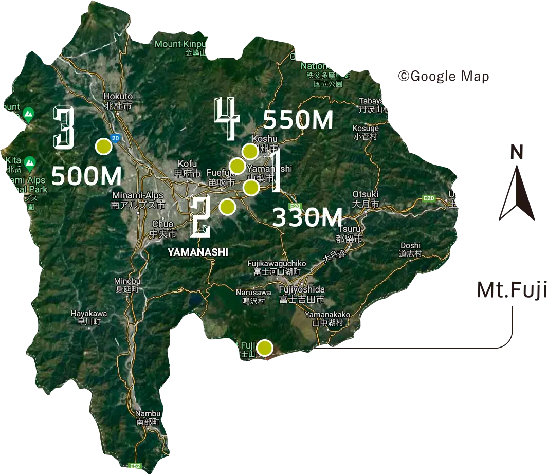
Katsunuma-cho
Alluvial fan of Katsunuma and Hikawa River
Altitude 330M~550M (1,100-1,800 feet)
(Sand and gravel mainly composed of granite washed down from Mt. Daibosatsu)
Ichinomiya-cho
Alluvial fan of Kyodo River and Hikawa River
Altitude 300M~500M (1,000-1,600 feet)
(A mix of sand and gravel mainly formed by degraded granite, and volcanic ash from Mt. Kyodo)
Hosaka-cho
Slope of Mt. Kurofuji
Altitude 500M (1,600 feet)
(Clay soil mixed with volcanic ash)
Other Municipalities (Yamanashi-shi)
Alluvial fan of Fuefuki River
Altitude 350M~550M (1,100-1,800 feet)
(Sand and gravel mainly composed of granite from the mountains of Makioka mixed with volcanic ash)
Topography of Katsunuma, Yamanashi & Japan
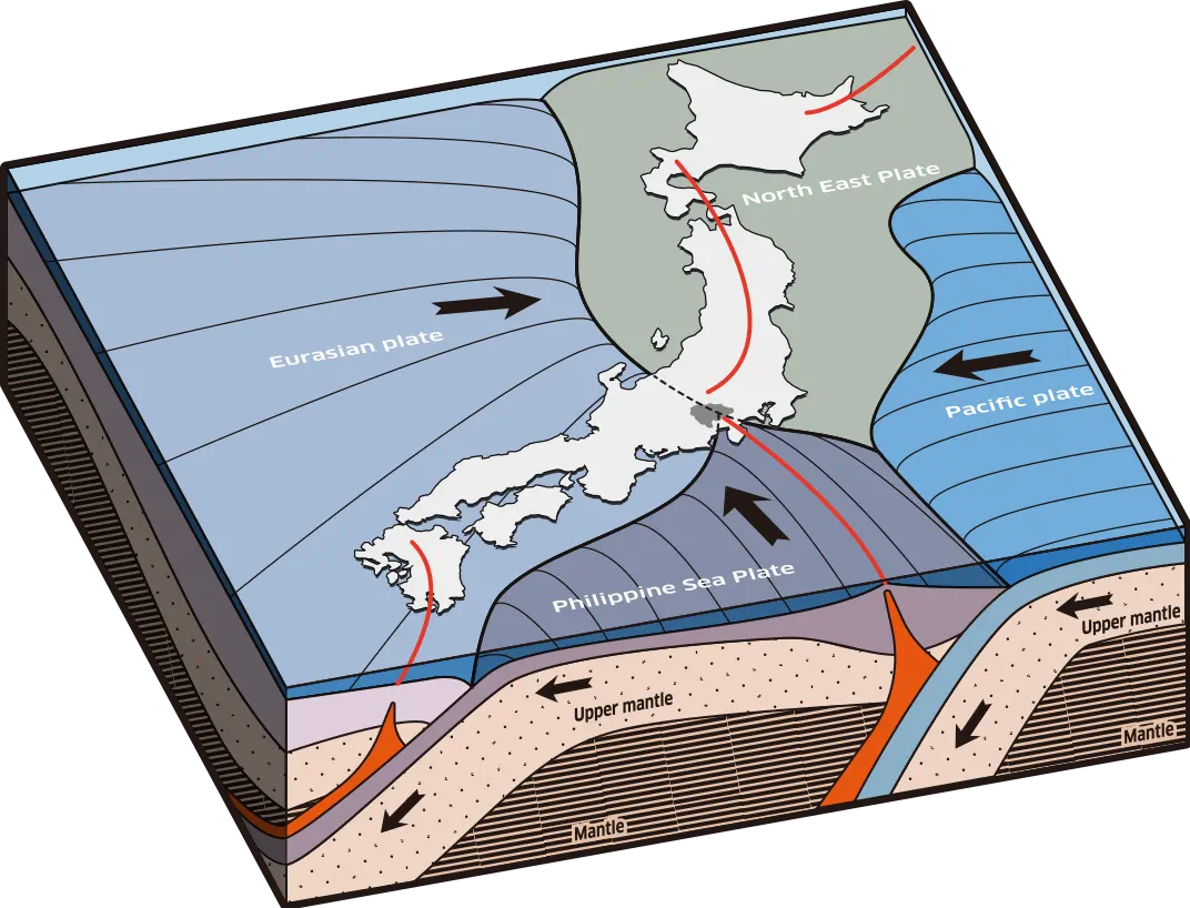
The Japanese archipelago straddles two continental plates, the North American Plate and the Eurasian Plate, which are among the dozens of plates that cover the earth. It is also compressed by the subduction of the Pacific Plate and the Philippine Sea Plate. As the two plates sink beneath the continental plates, sediments from the sinking oceanic plates are stripped off by the continental plates and forced to the surface, forming the island nation of Japan. As a result of this complex stress zone, 10% of the world's earthquakes of magnitude 7 or greater have occurred in Japan over the past 90 years. Furthermore, the active subduction of the Pacific Plate under the Japanese archipelago makes it one of the most volcanic island chains in the world.
Katsunuma is located on the eastern side of the Kofu Basin, a depression formed by the steep uplift of mountains up to 3,000 meters (10,000 feet) high where the Eurasian Plate, North American Plate, and Philippine Sea Plate collide. Mount Fuji, a World Heritage Site, lies to the south, the Japanese Alps lie to the west and the Chichibu Mountain Range lies to the east.
Typical Grape-Growing Regions in Japan

The Japanese archipelago is 3,500 km (2,200 miles) long from north to south, and grapes are grown in a variety of locations, including basins, mountainous areas, hilly areas and near the coasts.
The climate varies greatly from region to region, and is generally wetter and more humid than the major European grape growing regions. There is a wide range of annual temperatures, from Hokkaido in the north, with winter snowfalls of over one meter, to Kyushu in the south, with summer highs of well above 30 degrees Celsius (86 degrees Fahrenheit).
Efforts are made to cultivate grapes in a way that suits each region, and high quality grapes are the result. A unique feature of grape cultivation in Japan has been the pergola method (overhead trellises) due to the relatively hot and humid climate. More recently, MGVs has been experimenting with the cultivation of Japanese indigenous varieties using vertical shoot positioning (hedgerows).
The main grape growing regions are Yamanashi, Hokkaido, Nagano and Yamagata.
About Katsunuma
In the center of the Japanese archipelago, surrounded by mountains including the World Heritage Site Mt. Fuji, lies a deep valley (Kofu Basin) with the longest hours of sunlight and less precipitation than most other prefectures in Japan.
Grapes have been cultivated in this rich volcanic soil for more than 1,300 years. It is not known for certain, but it is believed that grapes were introduced to the island nation around the same time Buddhism was introduced from the Asian mainland in the 6th century. It was in Katsunuma, where MGVs is located, that grapes took root and the first wine was produced in Japan.
The vineyards in Katsunuma are located between 700 and 300 meters (2,300 and 1,000 feet) above sea level, and the grapes are grown on gently sloping terrain. The main soil characteristics are degraded granite and sandy soils with good drainage.
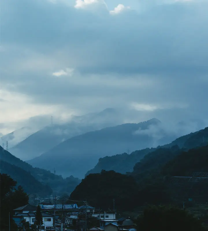
Left: Uplifted mountains
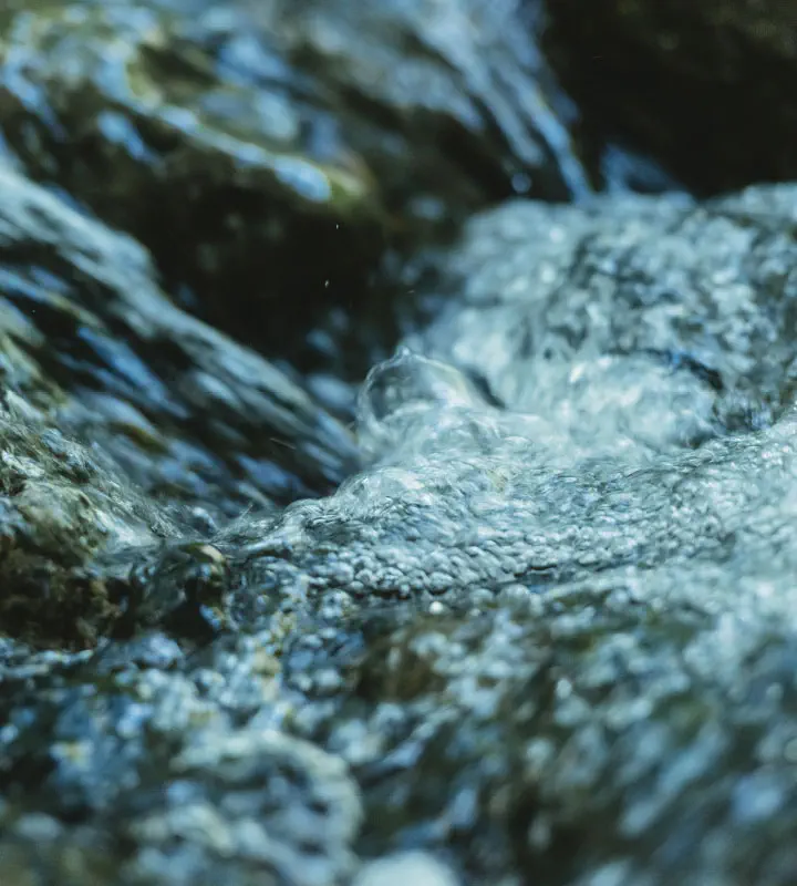
Center: Headwaters carrying granite sand
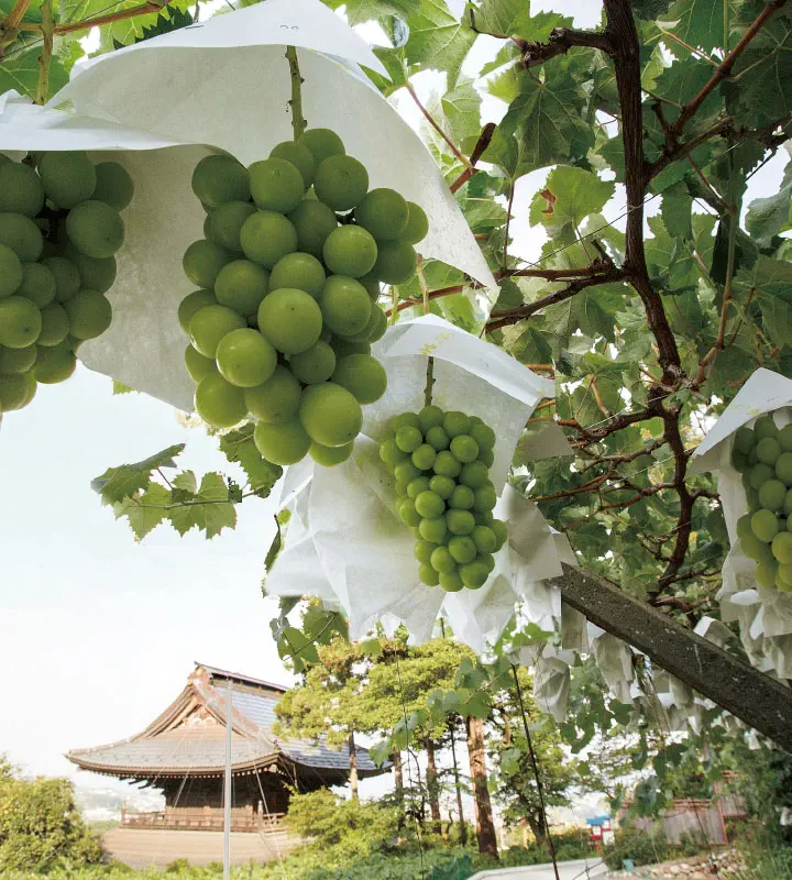
Right: Daizenji Temple, "Temple of Grapes"
